
About David Gardner
I'm David Gardner. Spatial Nexus is the consultancy I founded, based in Manchester, UK. You'd bring me a question about a place, and what you'd get back is an analysis, some GeoAI work or a map.
How the work is made
I built the AI systems Spatial Nexus works with, and I run them. The Uganda malaria study on this site was run end to end by ATLAS, Spatial Nexus's AI research system, and the two maps were made by Moxi, Spatial Nexus's cartographer, with ATLAS.
My job is directing that work and being the person you come to if it's wrong. On the Uganda study I'm the corresponding author, and the scope, the data-use conditions and the release were mine to approve. With the maps, I chose the series and I approve every image before it goes public, so if there's something wrong with one of them, that's down to me.
How you can check it
You can trace the numbers. In the Uganda study, which ATLAS ran, each of the report's 286 numbers was re-derived from the analysis outputs before release, and every one matched. Every figure on this site names its data source, and the Uganda study puts its uncertainty next to its findings.
The limits are written down too. If your question can't be answered with the data available, I'll say so and explain what's missing. The Uganda study does the same for mosquito records, which came to 3 occupied grid cells against a minimum of 20, so that model was not fitted.
Spatial Nexus and Ebotech Consulting
Spatial Nexus is a trading name of Ebotech Consulting Limited, the company I trade and invoice through. Ebotech Consulting's own site is ebotech.com.
Find me elsewhere

Sources and credits
- The South Pennines and Manchester
- Produced using Copernicus WorldDEM-30 © DLR e.V. 2010-2014 and © Airbus Defence and Space GmbH 2014-2018 provided under COPERNICUS by the European Union and ESA; all rights reserved. Contains OS data © Crown copyright and database rights 2026. © OpenStreetMap contributors.
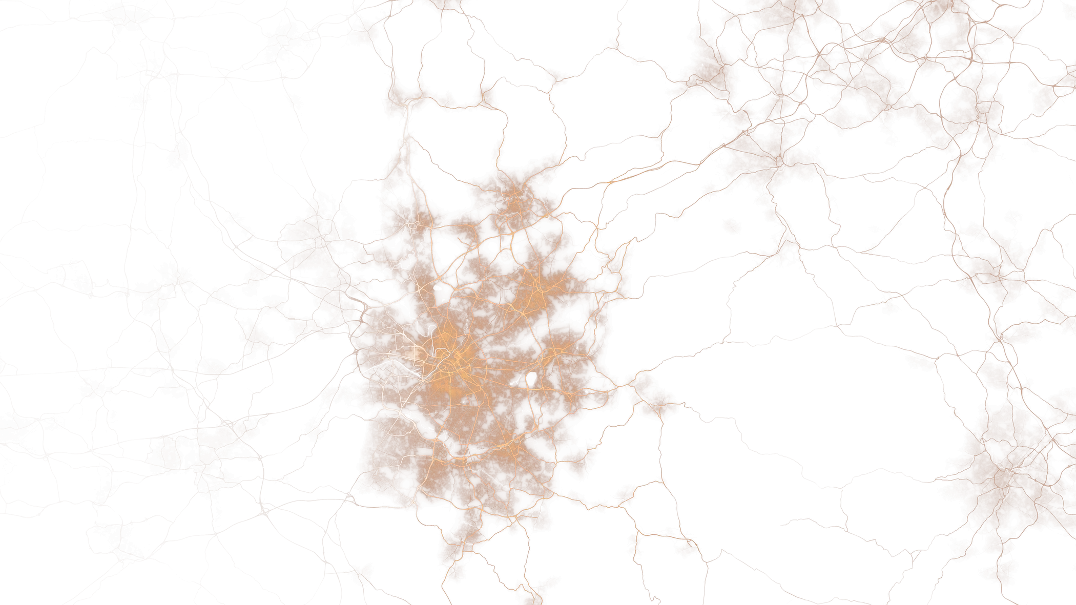
- Britain's rivers and the rivers of the Humber
- Contains OS data © Crown copyright and database rights 2026.